
Mission Ready
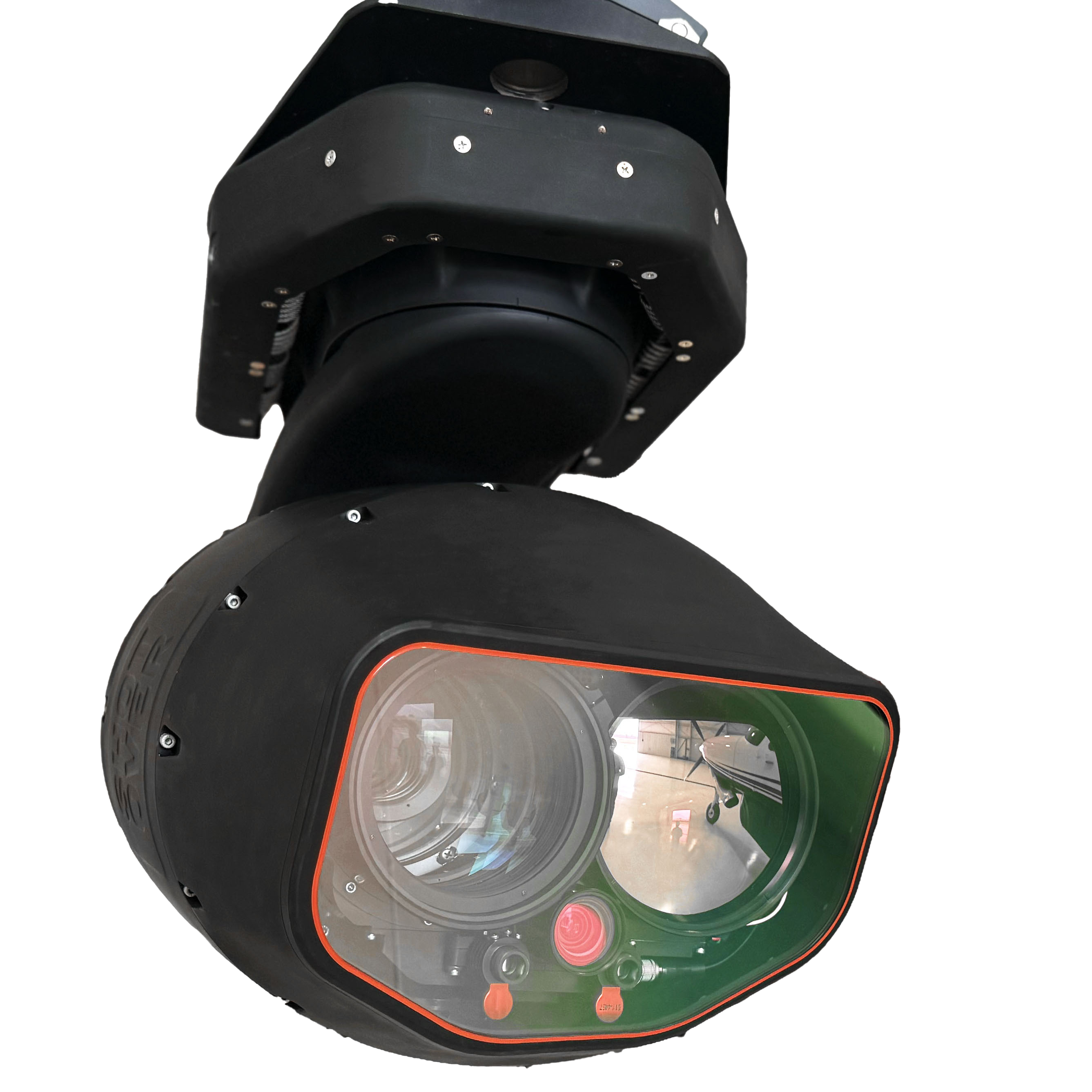
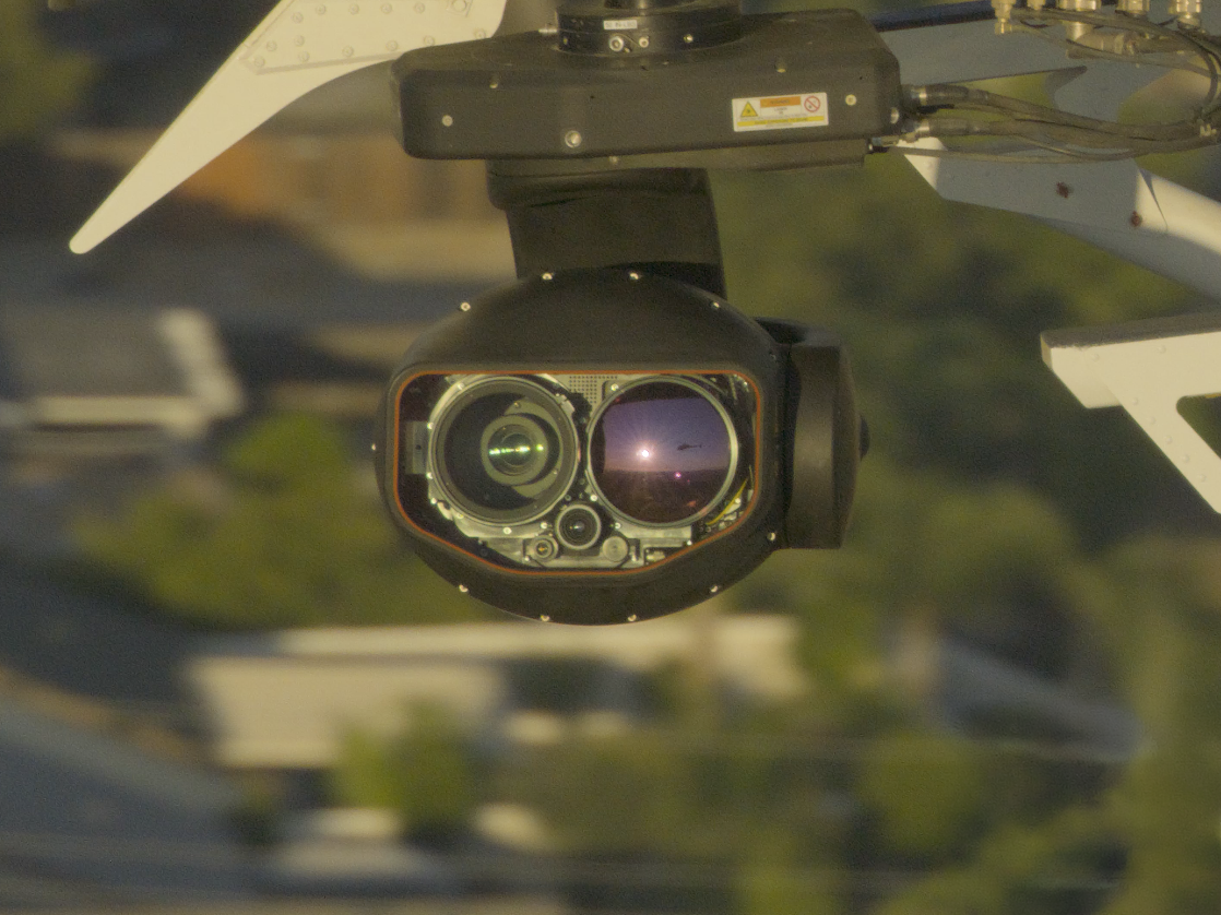
SHOTOVER M2
Multi-Sensor System
The M2 Multi-Sensor system redefines airborne ISR with SHOTOVER’s 5th-generation 6-axis gimbal design, eliminating "gimbal-lock" and "horizon-rolling." It delivers unmatched clarity—day or night—via 4K Ultra-HD sensors and HOT infrared technology, paired with precision zoom optics for superior detail and extended stand-off distances.
Key features include 24MP DSLR-quality photo capture and automated camera functions for effortless steering, tracking, and zoom.
Optional SWIR technology enhances capabilities for maritime and fire missions.
M2 System Highlights

Unique 6-axis design provides outstanding stabilization with no “gimbal-lock” and level horizon

Embedded next generation Augmented Reality System provides unsurpassed situational awareness

Fully automated for hands-free following of vehicles, roads, railways, and other data objects

Advanced Image Blending combines color and thermal sensors into one information-rich scene

Real-time Anti-Turbulence Filter extends viewing distance in hot and humid conditions

Innovative software-defined features such as “ViewHold” to adjust zoom optics while maneuvering & “VLRF” Virtual Laser Range-Finding to automatically calculate distances
AI Enabled
Mission Management
SHOTOVER’s M2 Multi-Sensor system is a complete mission solution with built-in 4K video and metadata recording, and an all-new version of our exclusive Augmented Reality System. Experience valuable information displayed as real-time augmented reality overlays for instant identification of street names, addresses, POIs – connect almost any data source to visualize weather conditions, aircraft traffic from ADS-B, ship locations from AIS, cell and radio emissions, friendly force locations, and more.

Quickly identify street addresses, traffic conditions, measure areas, calculate acreage, perform crowd size estimations, and even display a vehicle’s speed during fast-moving pursuits

Easily plan and transfer mission data from ground PCs to aircraft

Standard GIS database with options for custom user data

Record in full 4K resolution while displaying and streaming in HD

Compatible with most FAA and EASA approved aircraft mounts
Portrait mode video layout support ideal for newer glass cockpits

Built-in simulator tool keeps operators proficient while saving flight hours

Optional cloud-based service to archive, collaborate, and distribute video

Connect over the Internet for updates, new features & remote servicing

Simplified cabling requires only power, Ethernet, and GPS antenna

Non-ITAR and fully NDAA compliant
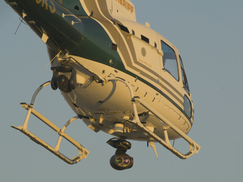
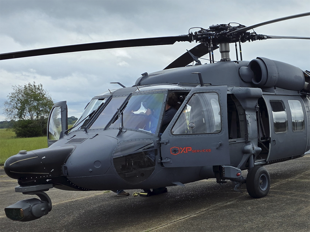
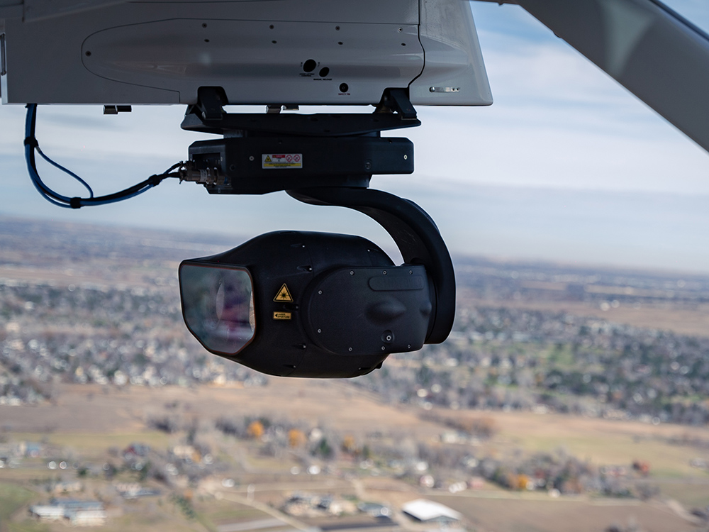
Technology in action
System Specifications
Payload
EO Zoom
Large format color CMOS, global shutter
3840 x 2160 pixels, 4K UHD
21° to 0.6° (0.3° @ 1080p) cont. zoom
EO WIDE
Large format color CMOS, global shutter
3840 x 2160 pixels, 4K UHD
36° fixed wide view
Photo Mode
24 Megapixel, BSI Stacked, global shutter
45mm to 3200mm (35mm equiv. FL)
SWIR
Large format Short-Wave Infrared
1280 x 720 pixels, HD video
From 56” to 7” fixed or optional cont. zoom
IR ZOOM
Large format HOT Mid-Wave Infrared
1280 x 720 pixels, HD video
34° to 1.7° (0.9° @ 640) cont. zoom
Laser Pointer
190mW, Near-IR, Class 3B
Laser Illuminator
~2W, Near-IR, Class 4
Video Formats
2160p, 1080p, 1080i, 720p
Image Formats
JPEG, RAW, GeoTIFF
Gimbal System
Type
6-axis stabilization with built-in vibration isolation
Az Coverage
360° continuous
El Coverage
+30° to -120°
Roll
+/- 50°
Navigation
Fully integrated IMU & GPS receiver
Size
16.4” x 19.1” (417mm x 485mm) excluding swept area
Weight
108 lbs (49 kg)
Power
22-29 VDC (per MIL-STD-704E)
Environment
-20 to +55C
Interface
Video
2x SDI, 3x IP Stream
Data
Ethernet, USB 3.0, serial ports, audio
Metadata
MISB compliant KLV, extended dataset
CODECs
H.264, H.265
Featured Videos
SHOTOVER M2 In Action
Riverside County Sheriff's Aviation Unit shares how the SHOTOVER M2 is transforming their missions — from 4K clarity that reveals life-saving details to unmatched gimbal stability that locks onto the scene no matter what the aircraft is doing.
Explore Products

AIRSCAPE
Premier Augmented Reality Solution
Unsurpassed Situational Awareness
Pinpoint Locations & Targets

EARTHSCAPE
Video Management Made Easy
View Aircraft Flight & Camera Path
Secure Access From Any Location

ION 2
Multi-Chanel HD Video Recorder
Stream Real-Time Video
Playback & Review While Recording


Contact Request
Looking for a quote or have a question about our products? Fill out the form below and a SHOTOVER Systems team member will get back to you right away.